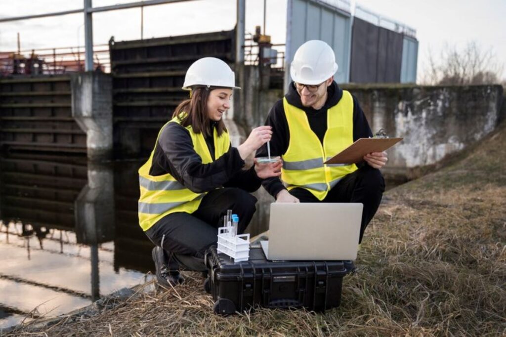
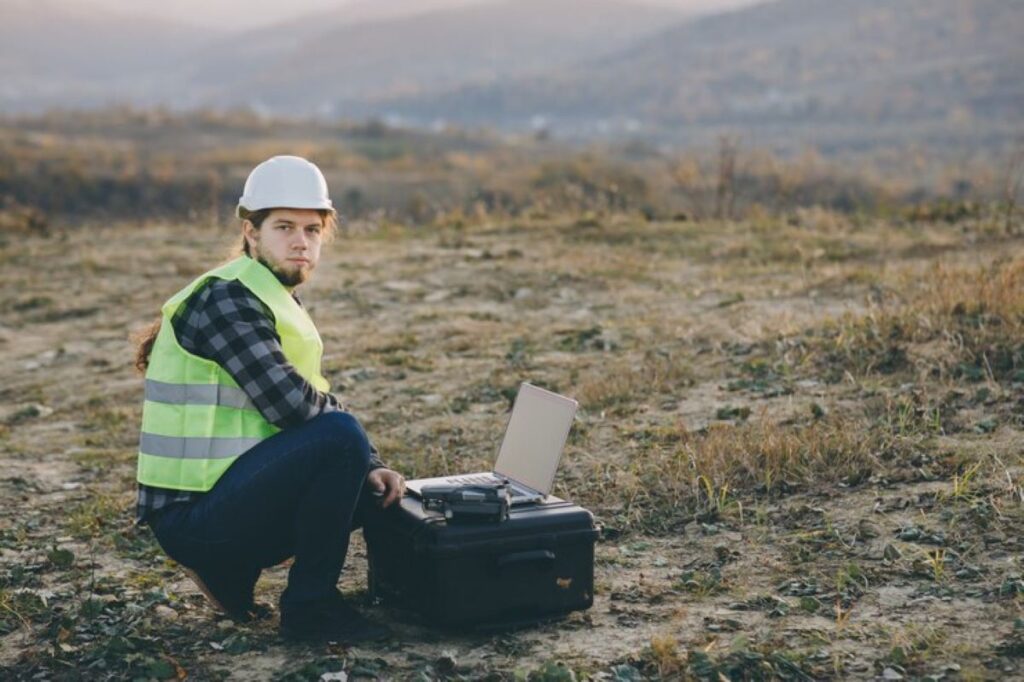
Subsurface Utility Locating (SUL) is a crucial safety practice in construction and infrastructure projects. This specialised process identifies and maps underground utilities such as water pipes, electrical cables, gas lines, and telecommunications infrastructure before any excavation work begins.
The stakes are high when it comes to excavation without proper utility locating:
- Property Damage: Accidental strikes can destroy essential infrastructure
- Service Disruptions: Damaged utilities lead to widespread service outages
- Safety Hazards: Hitting gas lines or electrical cables risks worker lives
- Project Delays: Utility strikes cause costly timeline setbacks
- Legal Implications: Damages often result in substantial financial penalties
This comprehensive guide examines proven best practices for safe excavation through effective utility locating. From understanding SUL fundamentals to implementing cutting-edge technologies, these guidelines help construction professionals, utility contractors, and project managers minimise risks and maintain safety standards throughout their excavation projects.
Understanding Subsurface Utility Locating (SUL)
Subsurface utility locating uses advanced detection technologies to map underground infrastructure before any excavation work begins. This systematic process involves:
- Ground Penetrating Radar (GPR) scanning to create detailed subsurface images
- Electromagnetic detection for identifying metallic utilities
- Acoustic sensing to locate non-metallic pipes
- Radio frequency locating for telecommunications infrastructure
The SUL process identifies critical underground assets including:
- Water mains and sewerage systems
- Gas distribution networks
- Electrical power cables
- Telecommunications infrastructure
- Stormwater drainage systems
Accurate utility detection directly influences project success rates. Precise mapping reduces costly service strikes and project delays while maintaining strict safety standards. A comprehensive SUL survey can prevent:
- Unplanned service interruptions
- Workplace injuries
- Budget overruns
- Construction timeline extensions
- Environmental incidents
Professional utility locating services integrate seamlessly into construction planning phases, creating detailed documentation of underground assets. This data forms the foundation for safe excavation practices and efficient project execution.
Key Stakeholders in Subsurface Utility Locating
Successful subsurface utility locating requires coordinated efforts from multiple key stakeholders, each playing distinct roles in ensuring safe and accurate utility identification.
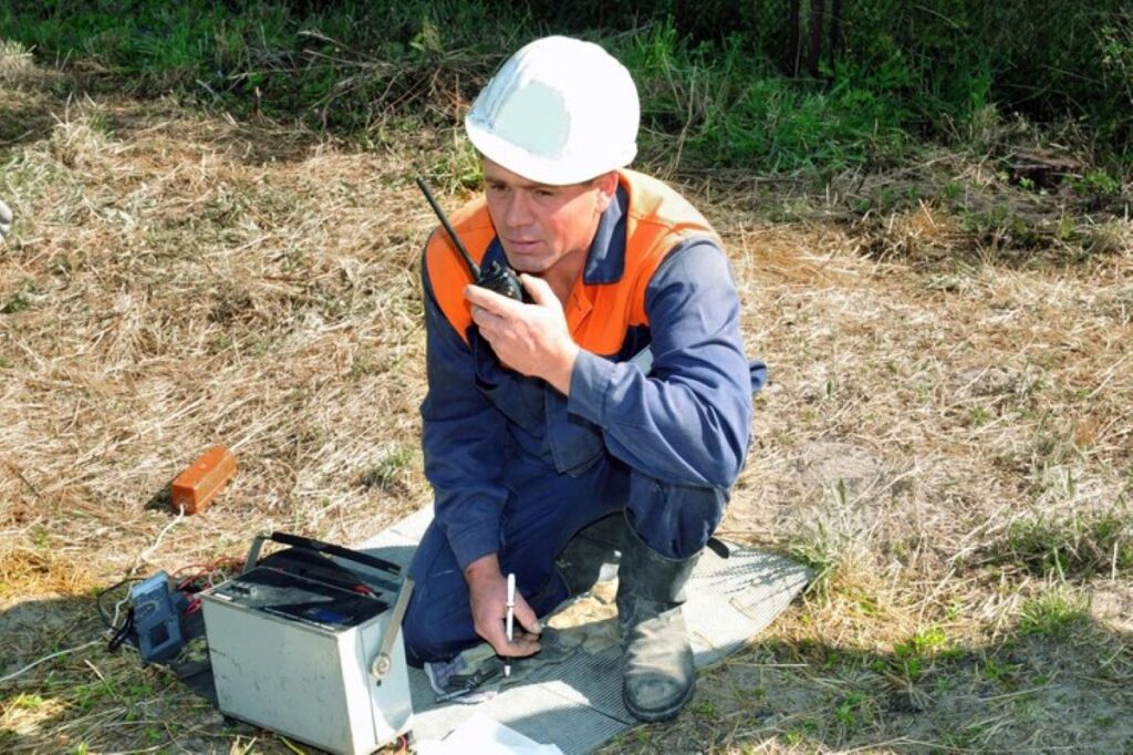
Utility Locators
- Conduct field investigations using specialised equipment
- Mark utility locations with appropriate colour codes
- Provide detailed documentation of findings
- Maintain up-to-date knowledge of locating technologies
Registered Surveyors
- Create precise mapping of underground infrastructure
- Verify utility positions through advanced surveying techniques
- Generate detailed reports and documentation
- Integrate utility data with existing site plans
Facility Owners/Operators
- Maintain accurate records of utility infrastructure
- Respond promptly to locate requests
- Update documentation when modifications occur
- Share critical information about utility specifications
- Provide emergency response for utility incidents
The collaboration between these stakeholders creates a comprehensive approach to utility locating. Registered surveyors and utility locators work together to deliver end-to-end services, whilst facility owners ensure accurate infrastructure records are maintained and accessible. This integrated approach supports precise utility identification and reduces the risk of excavation-related incidents.
Communication and Notification Protocols for Safe Excavation
Proper communication protocols serve as the foundation for safe excavation practices. The established notification system requires excavators to contact one-call centres at least 48-72 hours before any planned digging activities.
Essential Pre-Excavation Steps:
- Contact the designated one-call centre (811 in most regions)
- Provide detailed project information including:
- Exact location coordinates
- Project scope and timeline
- Type of excavation work
- Depth of planned excavation
Site Delineation Methods:
Physical marking techniques include:
- White paint lines marking excavation boundaries
- Stakes with white flags
- White chalk markings for temporary identification
Digital mapping enhances traditional marking methods through:
- GPS coordinates for precise location tracking
- Digital site plans with utility overlay
- Mobile applications for real-time updates
The combination of proper notification and clear site delineation creates a comprehensive safety framework. These protocols enable utility owners to respond effectively and mark their underground assets accurately, reducing the risk of accidental utility strikes during excavation work.
Locating and Marking Utilities Accurately: Standards and Methods
Accurate utility marking follows strict industry standards to ensure consistent interpretation across all project sites. The American Public Works Association (APWA) colour code system serves as the universal standard for marking underground utilities:
- Red – Electric power lines, cables, conduit
- Yellow – Gas, oil, steam, petroleum
- Orange – Communication, alarm, signal lines
- Blue – Potable water
- Green – Sewers and drain lines
- Purple – Reclaimed water, irrigation
- Pink – Temporary survey markings
- White – Proposed excavation
Each utility must be marked within an 18-inch tolerance zone – measured as 9 inches on either side of the indicated utility line. This zone acts as a critical safety buffer during excavation activities.
Field teams employ multiple marking methods to ensure visibility and durability:
- Paint markings on hard surfaces
- Flags in soft soil conditions
- Stakes for extended project durations
- Whiskers for temporary marking needs
Documentation requires detailed sketches or photographs capturing the marked utilities in relation to fixed landmarks. These records include measurements from permanent structures, ensuring accurate reference points for future work and verification purposes.
Safe Excavation Practices Near Utilities: Techniques and Precautions
Before any excavation work begins, it’s important to carefully review the utility locate marks. These markings are crucial for ensuring safe digging practices, and it’s essential to verify them against any available documentation.
Essential Safety Protocols:
- Always keep the utility markings clearly visible during excavation
- Be mindful of the 18-inch tolerance zone on each side of marked utilities
- Keep the locate documentation on-site for easy reference
- Stay aware of weather conditions that could impact ground stability
Recommended Excavation Methods:
- Hand DiggingUse non-mechanical tools within the tolerance zones
- Dig test holes to confirm the depths of utilities
- Work parallel to the marked utilities
- Vacuum ExcavationApply pressurised air or water to safely expose utilities
- Create precise excavations with minimal risk
- Ideal for complex utility configurations
Additional Safety Measures:
- Assign a dedicated spotter during mechanical excavation
- Use protective barriers around exposed utilities
- Implement emergency response protocols
- Document any differences between marked and actual utility locations
By following these careful excavation methods, we can protect both infrastructure and worker safety while keeping projects running smoothly.
Incident Management During Excavation: Protocols and Documentation
Swift action becomes critical when utility damage occurs during excavation. A structured response protocol helps minimise risks and ensures proper documentation for legal compliance.
Essential Emergency Response Steps:
- Stop all excavation work immediately
- Secure the site to prevent access
- Contact emergency services (000) for potential hazards
- Alert affected utility operators
- Evacuate the area if gas leaks or electrical hazards exist
- Document the incident with photos and detailed notes
Required Documentation Elements:
- Date, time, and location of incident
- Type of utility damaged
- Weather conditions
- Equipment involved
- Personnel present
- Actions taken
- Witness statements
- Photographic evidence
Incident Record Management:
- Create digital copies of all documentation
- Store records for minimum 7 years
- Include incident reports in safety audits
- Use data for preventive measure development
- Share learnings across project teams
Proper incident documentation supports insurance claims, helps prevent future occurrences, and demonstrates compliance with workplace safety regulations. Regular review of incident records enables identification of patterns and improvement opportunities in damage prevention protocols.
Regulatory Compliance and Industry Standards in Subsurface Utility Locating
Strict regulatory frameworks govern subsurface utility locating across different jurisdictions. The Colorado Excavation Requirements Statute serves as a benchmark example, mandating:
- Minimum 2 business days’ notice before excavation
- 18-inch tolerance zones around marked utilities
- Maximum 2-day response time for utility operators
The Common Ground Alliance (CGA) establishes comprehensive best practices that shape industry standards:
- Standardised marking protocols
- Damage prevention guidelines
- Safety procedures for excavation
- Documentation requirements
- Quality assurance measures
These standards extend beyond legal requirements to create a robust safety framework. The CGA’s Best Practices manual receives regular updates through stakeholder input, incorporating:
- New technological developments
- Emerging safety protocols
- Risk mitigation strategies
- Industry-specific requirements
Professional organisations like Wumara Group integrate these regulatory requirements and CGA guidelines into their service delivery, ensuring compliance while maintaining high safety standards across NSW and QLD markets.
Leveraging Technology for Enhanced Utility Locating Accuracy and Efficiency
Modern Subsurface Utility Engineering (SUE) technologies are changing the game when it comes to accurately and efficiently locating utilities. With the help of advanced tools like electromagnetic detection systems, ground-penetrating radar, and 3D mapping software, we can now create detailed models of underground infrastructure during the design phase. These precise digital representations enable project teams to:
- Identify potential utility conflicts early
- Plan excavation routes strategically
- Reduce costly project delays
- Minimise safety risks
Streamlining Workflow with Digital Documentation Tools
Digital documentation tools are making the entire utility locating workflow much smoother:
Mobile Applications
- Real-time processing of locate requests
- Documentation of utility markings using GPS
- Capturing photos with geolocation data
- Recording measurements digitally
Cloud-Based Platforms
- Centralised storage for project documentation
- Automated reporting systems
- Databases for tracking incidents
- Analysis of historical data
Creating a Comprehensive System for Managing Subsurface Utility Information
By combining these digital solutions with traditional locating methods, we now have a complete system in place for managing subsurface utility information. This means that project teams can easily access accurate and up-to-date utility data throughout the entire construction process. As a result, decision-making becomes more informed and excavation practices become safer.
Conclusion
Safe subsurface utility locating requires a comprehensive approach built on proven best practices. Proactive communication between stakeholders, adherence to precise marking standards, and respect for tolerance zones are the foundation of successful excavation projects.
Key elements for maintaining excavation safety include:
- Thorough pre-excavation planning and utility marking verification
- Strict compliance with hand-digging requirements near marked utilities
- Immediate response protocols for utility strikes
- Detailed documentation of all locating and excavation activities
These practices, combined with modern technological solutions and proper stakeholder coordination, create a strong framework for damage prevention and worker safety. Implementing these protocols protects infrastructure, prevents costly delays, and ensures the safety of excavation teams.
Related : Contour Survey Plans: Why They’re Crucial for Property Development